Day 10: How Long is 17 Miles, Anyway?
By Matthew Pedone
October 26th, 2014
I wake Sarah, we shower and head over to breakfast. Unlike Vintage Towers, where all the guests shared a table, Pacific Grove Inn has a multitude of smaller tables. We get some coffee, Sarah grabs some cereal, and I grab some toast. After a couple of spills due to our table being a bit wobbly, we settle in to eat. The chef comes out (he looks like a contestant I've seen a couple of times on Chopped) and takes our orders. Sarah gets eggs benedict. I opt for the caramel-banana pancakes. They're tasty, with a caramel-banana sauce on top, though a little sweet.
Our plan for the day is to head to the 17-Mile Drive, a loop of road that runs from Pacific Grove down to Carmel, and back again. Or, I suppose, vice versa, if you're one of the snootsters in Carmel. We're not sure how long this will take, but we figure we should be able to get lunch down in Carmel, and then head back up for dinner in Pacific Grove/Monterey.
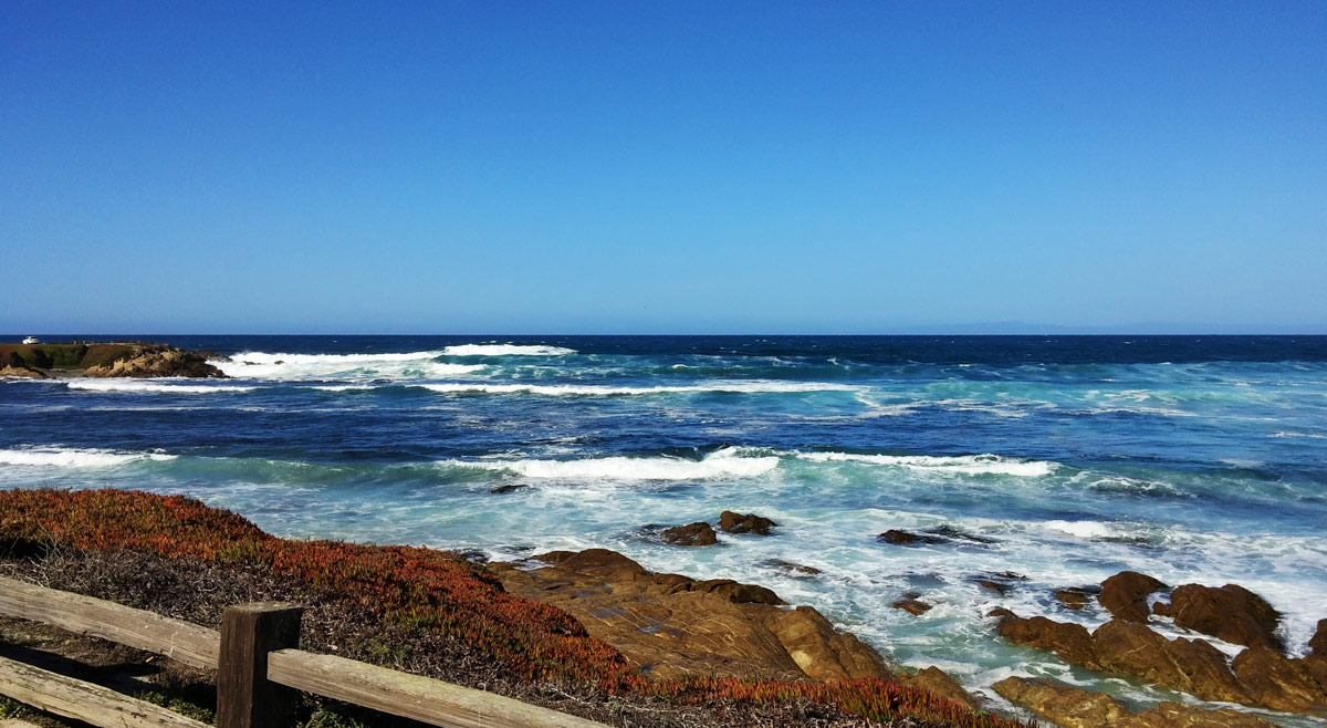
After a bit of driving in circles to make sure we're in the right place, and to get an early view of the beauty of the ocean (warning - this may come up a few more times; also, spoiler – it’s quite beautiful). At about 10:45, we pay the 10 bucks at the guard house - because seeing natural beauty ain't free! (well, maintaining natural beauty ain’t free; neither is maintaining golf courses) - and are on our way. We head through the Spanish Bay golf course, and emerge out on the coast. Full-on oohs and ahhs from the car at this point. We pull into the first scenic overlook, "The Restless Sea".
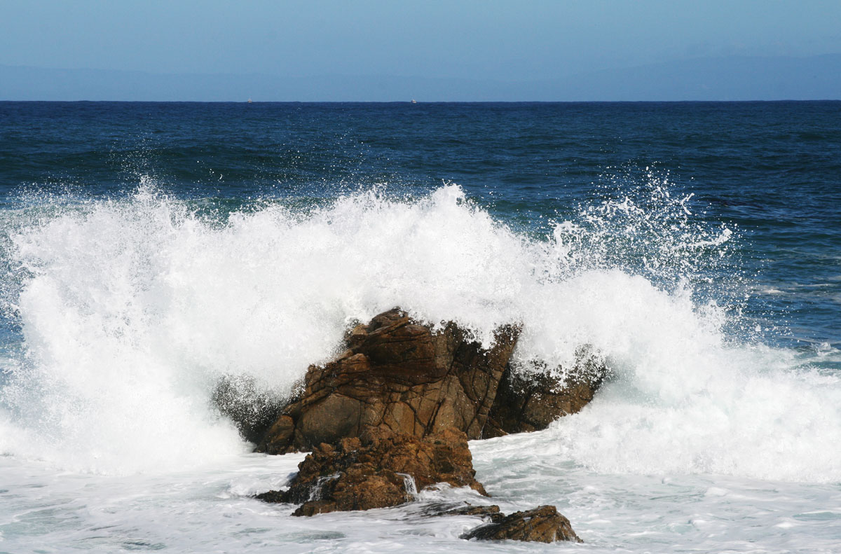
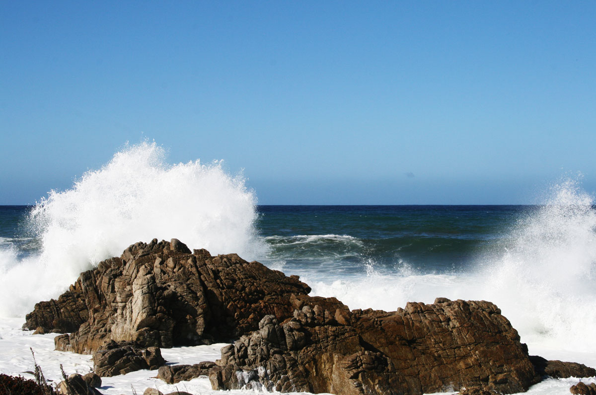
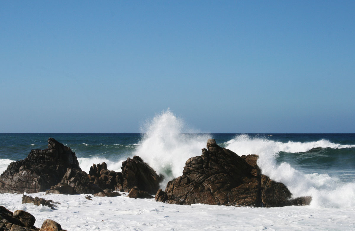
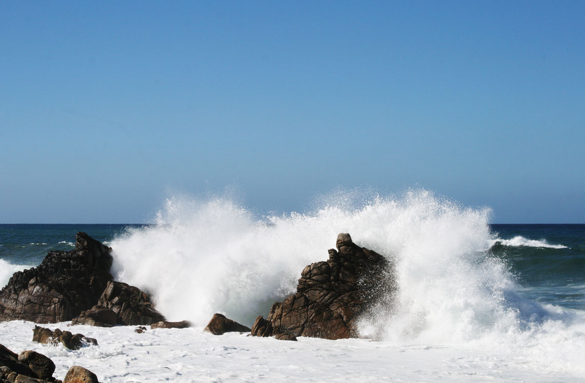
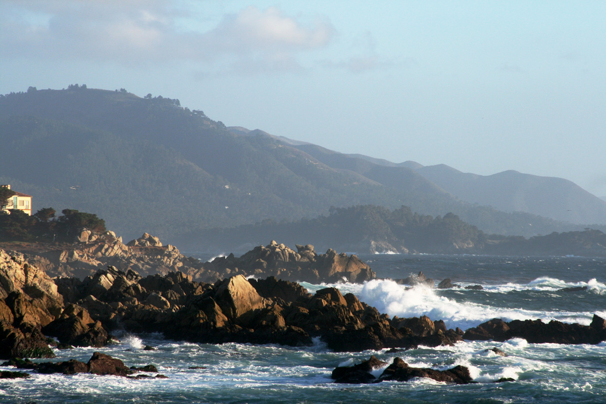
It really does look restless, churning about the rocks like wild river rapids. Many pictures are taken here. The water is amazingly green and aqua colored, and sprays up in huge plumes as it crashes against the rocks. We chose to skip the next scenic overlook as it is right next to the first one (though it does feature the tees for one of the golf course holes), but about a minute up the road, we stop again, taking more pictures of rocks and waves and birds, while keeping a lookout for otters and sea lions/seals.
We continue on this way until we stop at the scenic overlook just north of Bird Rock. Sarah fiddles with the focus and self-timer so that we can get a picture of ourselves. While she works, a flock of pelicans fly just over my head. Watching them soar over me in formation is cooler than watching the Blue Angels. When I look back at the camera, Sarah is charging towards me. I catch her and we smile at the camera just as the shutter fires.
A little up a foot trail is a dirt outcropping, that looks like it will be good for taking some scenery shots. Unfortunately, a rather large family is occupying it, taking endless combinations of family pictures. So, we meander up the path, figuring we'll come back. Eventually, we end up at the next point of attraction, Bird Rock, so named because of the giant rock off in the distance on which hundreds of birds perch. At least, we think they're birds. We definitely pass a rock closer to shore that is covered by birds, and by bird guano, which… Yeah, that’s an odor I don’t ever need to experience again. Moving past that, we begin to hear barking. Not dog barking, but sea lion barking!
Looking out at the rock, we're pretty sure we can see sea lions. I use the last couple of quarters from our Muni adventures and actually pay for the tourist telescope. It's totally worth it, as we can see the sea lions up on the rock, and even down in the water, swimming and fishing and frolicking!
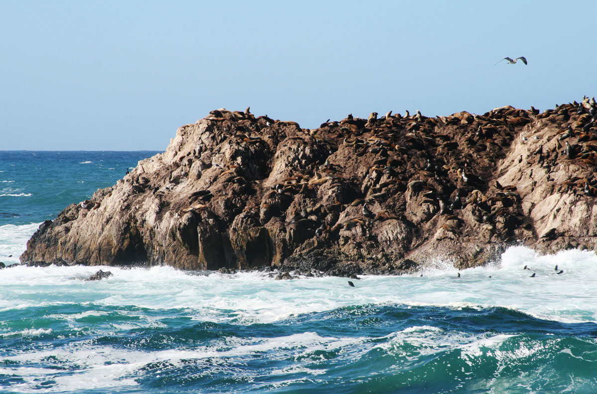
If you didn't know, harbor seals are also known as "Nature's Rock Climbers". No, they're really not. I assume there's a seal escalator on the far side.
We stand there for a while, watching them swim and climb the rock, looking for otters, and watching the birds, then head back to the car, stopping only at the outcropping to take a couple of pictures there. Driving on, we stop at a couple of more sites before entering the forest. The next stop is one of the coolest on the trip - Sunset Point.
The viewing area is fenced in by an actual chain-link fence, because the beach below is a common harbor seal pupping ground. The spot is actually closed in March and April for pupping. Fortunately for us, it is October. We peak through the fence, looking for seals, and sure enough, there are a couple just off shore. We snap some photos through the fence, then some kids fire up their drone camera and fly it out over the water, hovering just above the seal. Look, just because you can do something, doesn't mean you should.
We head away from them, up the walkway to a spot that overlooks a little cove, where we find, right below us, a couple more seals. One in particular, seems to have found a great hunting ground in the cove. He perches on a rock in the water, catching his breath, then heads out away from the shore to where the rocks form a sort of channel for the incoming waves. Our guess is that he hangs out there, catches fish that get caught in the current, then rides the tide back to his little perch. We watch him do this for what seems like an hour, then decide to move on.
At some point in all of this, we actually did see an otter, but I don't recall where at this point, because it’s not until tomorrow that I fully understand the awesomeness of the otter, but that’s for another day (i.e. tomorrow).
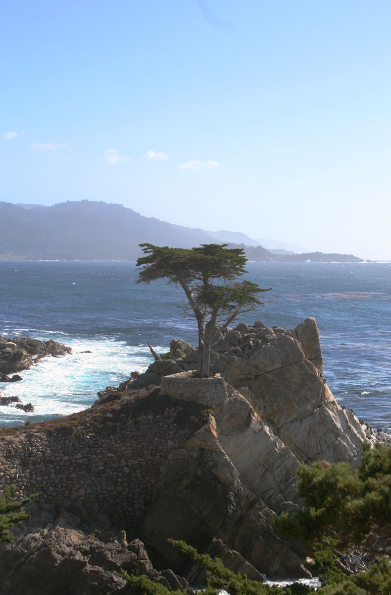
The road moves on into the woods, and winds around multi-million dollar homes with stupid names like "Villa Del Mar" and "Anticipation". Eventually, we come to the next point of attraction, "The Lone Cypress", a famous cypress that is "the enduring symbol of the Pebble Beach company", because, yes, we are about to drive through Pebble Beach, which owns much of the road. Another reason for the $10 fee. They apparently don't make enough on greens fees and club memberships.
The Lone Cypress is picturesque, but it is also a big tourist draw. In fact, we pull in at about the same time as a Japanese tour bus. We head down the large wooden staircase after them, but hold up as they mob the observation deck below. I move down a bit to snap a few photos, then decide to check my phone and see if I can find out if we have to pay again if we duck out at the Carmel Gate to find some food.
While doing this, one of the tourists approaches me and says hi, waving the peace symbol and gesturing towards her fellow tourists. She has a name tag on a lanyard around her neck, and looks like she's a guide. At first, I think that I'm in the way of someone's photo, so I start to move, but she gestures for me to stay, then gestures at her friend. A light bulb clicks on - she wants her picture taken with me. Ok... Is it a thing to get your picture taken with large, roundish, awkward Americans? Apparently, it is, as her friend switches places, and we pose for more pictures. Sarah comes down to ask what that was all about, and another woman comes over and poses with the both of us. After another round of pictures, they start ascending the stairs, and we try to avoid eye contact with anyone else.
After that, The Lone Cypress isn't as interesting. It is an iconic tree, though, and it's interesting to note that there is a stone wall built around it and along the path leading up to it. Who the hell was crazy enough to build that? We also note that there are cables holding the tree in place. It is in a precarious position, out on a rocky outcropping, unsheltered from wind or weather. In the Muir Woods, we walked by the remains of a fallen tree that had been the park's main benefactor's favorite tree. The park knew it was going to fall, but the only measures they took were to attach a strap to measure the widening crack. When the tree fell, they let it fall. They didn't attach cables to it and try to hold it up (of course, it was so big that when it fell, the sound was heard half a mile away, so I doubt there was much they could do).
This is the problem with using something natural as your symbol. New Hampshire ran into this problem, as well, with The Old Man of The Mountain. It was a natural rock formation on the side of a mountain, where rocks typically shift and often fall. When New Hampshire realized this profile of a face was in danger of disappearing, they started using a system of cables to hold it in place. This went on for decades until nature finally won out. There are plenty of photos and drawings of it, but those weren't enough. People wanted to see it for themselves, so the state was forced to try and preserve it as long as possible. PBC faces the same issue, apparently.
The rest of the drive is pretty, mostly in the forest, and some through the (ugh) Pebble Beach Country Club. Nothing against golf, really. I’ve played a little, and it is fun. I wouldn’t mind playing more. Can’t stand watching it, but that’s fine. There’s just something about the Country Club attitude that rubs me the wrong way. It’s so exclusionary. I enjoy people and places that welcome newcomers and outsiders, and withhold judgement until they get to know you. I feel like the country club attitude is that they assume you’re beneath them, and that you have to prove your worth. Y’know, if they let you.
Anyway, not long after this, we pull through the Carmel Gate, drive up a couple of residential streets and find ourselves smack dab in the middle of Carmel.
Carmel is not for me. Well, that’s not fair. Carmel’s probably fine. The problem is that it is crowded. We’re in what looks like downtown. Lots of shops, but mostly high-high-end. On one corner, we spy a Tiffany's & Co. Lots of people. We decide to get some gas, some lunch, and continue heading south towards Point Lobo. Gas is tough to get to, but Sarah's excellence as a navigator comes through again. I like the term "Mission Director" more and more for her. On the way to the gas station, we pass a grocery and deli, so we backtrack and pick up some sandwiches, chips, water, and a couple of big cookies. It's 4:00 now, so our plan is just to have a late lunch, head back up the coast for sunset, and have ice cream in town.
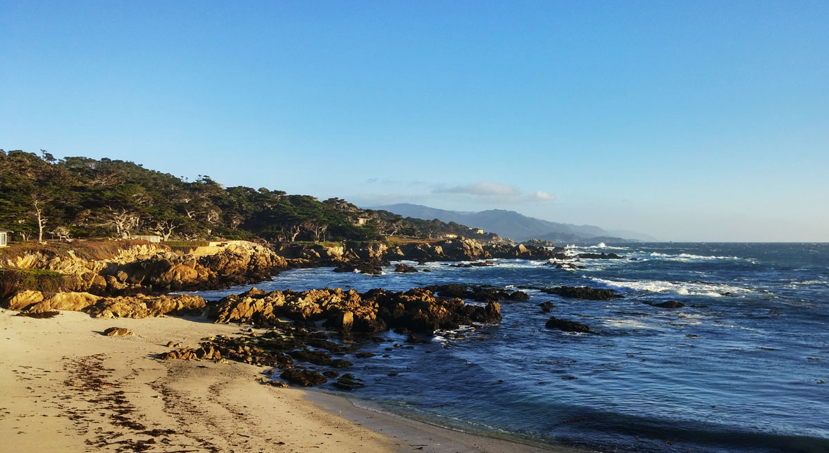
We head south, making our way to Point Lobo. As if in answer to my constant commentary on the windiness of the roads, there is a sign on Rte. 1 hat shows the snaky road, and the clarification "Next 49 miles". Finally, an honest sign. When we get to Point Lobo, we realize that we'll probably have to pay to get in, and the only cash we have we might need to get back into the 17 Mile Drive. So, we turn around, park on the side of the road and eat lunch while overlooking the ocean. It's nice to be sitting still, out of the sun, away from the spray. It's beautiful, but it can be tiring.
After a break, and a brief discussion on the disparity of well-off towns like Carmel to the more rural parts of California, we head back to the 17 Mile Drive, eschewing Carmel, and skirting around it on Rte. 1 to the Route 1 Gate.
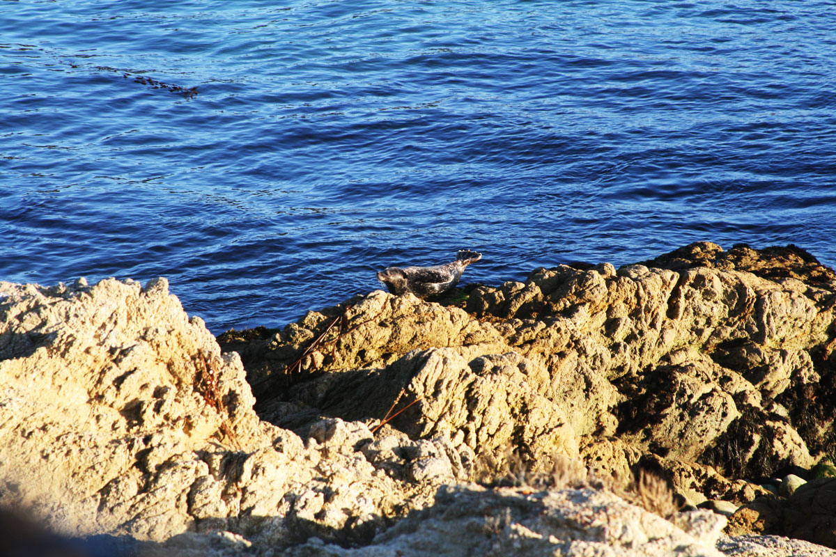
I show the receipt from earlier to the guard, and he waves us through, so that's nice. We decide to start on the backside of the loop, which heads up through the golf courses and neighborhoods away from the water. The two scenic overlooks up here are meh, so we head back to the shore. At Sunset Point, we look for the seals again. One is sunning itself on a rock, practically posing for us. We leave, heading back to Bird Rock as the sun gets closer to the horizon. The winds have picked up a bit, practically knocking us backwards. After snapping a few photos, we head back up the coast to the first overlook that we skipped, next to the golf tees.
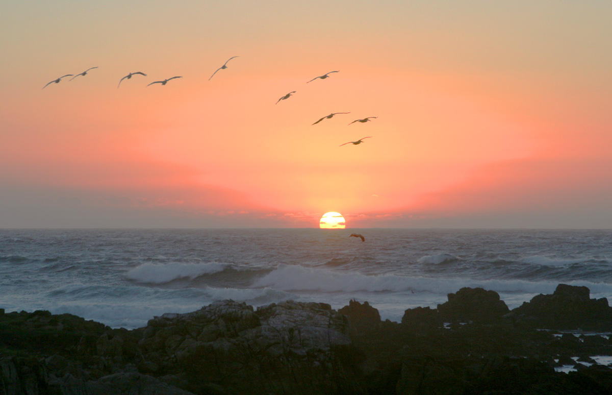
The wind is blowing at around 30mph, which is pretty strong, and coupled with the falling temperatures, makes it quite cool. It's tough to hold my phone to snap photos. Sarah takes a few pictures then takes shelter in the car, repeating this a few times, until the sun has fully set, and the colors have faded to a deepening blue, and the car is completely coated in salt. As are we.
Neither of us really wants to leave, though neither of us can give voice as to why. I think, though, we both have the same thought - this isn't real. This can't be real. Can it? From the spray of the breakers, to the otters and sea lions floating in the waves, to the rocky hills sloping down into the water, and the cypress trees clinging to said rocks, bent against a vicious ocean wind, everything is so beautiful, but so surreal. More than any trip I've been on with Sarah, maybe even in my life, there is a feeling like we're not where we are. This is a sound stage. If I woke up in bed to find I'd dreamt the entire day, I would not be surprised. Both of us, I think, want to stay because somewhere deep down we fear that this isn't real, and once we leave, we'll never be able to come back.
We're also both freezing. So, we head out.
Back at the inn, we pop into the main building to snag some hot chocolate, fresh-baked cookies, and buy tickets for the aquarium for tomorrow. In the room, we look up local ice cream places, and find that there is a Ghirardelli on Cannery Row because of course there is. Sarah takes over driving duties, and I navigate. I knew she'd been doing an excellent job, but I gain a new respect as I realize just how difficult it can be. We get there, though, get some ice cream, and head back to the inn. We chow down while watching the Giants beat up on the Royals relievers, then take turns showering the thin layer of salt off our bodies before turning in for the night.
All in all, we drove about 25 miles. It took us eight hours.
Posted: 01.10.18

